November 2020 was a busy month for me. The UK was heading into another lockdown for December and I needed to cram in the last of my photography before being placed back into yet another house-arrest for a crime I did not commit. I decided to embark on a trip up to Leicestershire but this trip wouldn’t just cover the choppy waters of Rutland, I would discover and pass through an incredible amount of history.
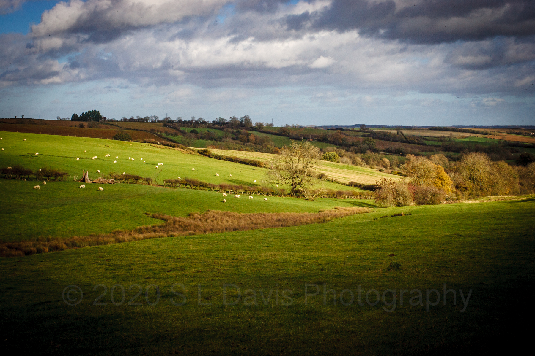
Leaving on a cold sunny morning, I headed up the M1 and straight for Rutland. I had seen images of Rutland and it really sparked my curiosity. I needed to discover what was behind the images I was seeing online and more about this unique place. The landscape on the outskirts of Leicestershire is miles of greenery. There is a patchwork quilt of farm land, with winding roads and small villages dotted throughout. I hadn’t been to Leicestershire since the early 2000’s and it was dark when I was last there visiting Lutterworth at that point in time, whereby, I used to float between Hertfordshire and Lutterworth for a short period. Heading to Leicester was a tad nerve wracking as Leicester was in lockdown due to outbreaks of SARS-Cov-2. Apparently it was rife, I was keen to avoid busy towns and the city centre and therefore I opted to stay only in open spaces. I even took a packed lunch, so I would not be stopping in any shops and running a risk of coming into contact with anyone who was potentially infected.
I passed through Oakham a pretty picturesque town, which looked deserted and my first thoughts were, this must be where M&S Oakham chicken comes from. Random thought I know, but bizarrely, I do this a lot. However, a little fun fact, Oakham chicken is a breed and not necessarily from Oakham itself. There is a very vague background to why Oakham is a range for M&S but that is another tale altogether. Winding around this historical rural town towards Rutland water, you will notice the buildings whether new or old, possess the same stamford stone characteristics. Finally arriving at Rutland water you would be forgiven for thinking I had arrived at the beach. Rutland water is a huge reservoir but the waters crash into the edges in a tidal mannerism of waves. You will see it is also a marina whereby, locals are active participants in watersports. I wasn’t here to splash about though, I was here to go to church.
Rutland water is home to a very unique landmark, Normanton Church. Deceivingly it appears to be built in the middle of the reservoir, and upon first sight, you wonder how anyone would have attended church. However, as you edge nearer to this historical structure, there is a path along a solid jetty that leads up to it. Built in 1760, the foundations of the church date back to the 14th century, it is now a local museum and unfortunately due to covid restrictions, I was unable to enter to inspect the fossil remains and skeleton that is said to be housed within. What I am able to tell you is one of the architects of this Church was Thomas Cundy Junior for the Earl of Ancaster. Thomas was responsible for numerous architectures around the UK including alterations to one near me in Moor Park, Hertfordshire (https://www.thedicamillo.com/house/moor-park/). The name Normanton church comes from the village Normanton, which existed up until the mid 18th century. You’d be forgiven for thinking Normanton still exists when you look up Normanton as there is a care facility nearby named Normanton village and is nothing to do with the church or village itself. The church belonged to the original Normanton estate and continued as a family chapel. In the 1970’s a campaign took place to save it as it became at risk of demolition and the campaign was successful as it is still standing today. The reservoir that surrounds it, was created in the 1970’s, in the Gwash Valley and is currently owned by Anglian water and also forms part of a nature reserve with reports of ospreys nesting nearby.
Normanton church was formerly known as St Matthews church. The history of this place is vague and what I am able to relay cannot be said to be strictly accurate. There is suggestion the Normanton estate was originally acquired by the Heathcote family in 1729. They created a park which contained Normanton house, a parsonage and a few houses. the house itself is now named Normanton Hall. The Gwash Valley was home to the former Normanton park for 200 years and had it not been for Royal Assent which was given in 1970, it may have contained fertile farmland, but rather the Royal assent allowed for the reservoir to be developed.
Earth works conducted at Rutland confirmed the existence of a village, further evidence was uncovered which showed there were closes, hollow ways and building platforms. Records that were uncovered showed taxpayers in 1377 suggesting the village population was around 150, though another survey suggested it was possible 90. The Military survey in 1522 was ordered by Henry VIII and conducted by Cardinal Wolsey. There is suggestion the estate passed through a number of families, such as the Umfrevilles, the Normanville and eventually to the Mackworths. There is suggestion there were numerous visits to the church by the Bishop or Archdeacon, suggesting the church was originally Roman Catholic. I wasn’t out of place on my visit given I was baptised Roman Catholic, though my church visits and beliefs are vaguer than the history of Normanton. Interestingly there is a lost village that sits under the reservoir, the village is Nether Hambleton. I have included a number of links to this piece for reference and so that you can discover a fascinating history, some of which has a watery end and is frozen in time. (http://www.rutlandhistory.org/HRW/chapter-021, http://www.rutlandhistory.org/HRW/chapter-011)
Rutland water is vast and incredibly peaceful. There are benches dotted along the pathway, each are a memorial to loved ones. There was a bite in the air in November as the seasons headed into winter, as well as any wind coming off the waters. The sound of the crashing waves is soothing to the soul and it makes a perfect location for a stroll with hot chocolate. There is an abundance of wildlife all around. As you follow the path to Normanton church itself you will notice there is another hint of the water activities before you with a flowering bed at the pathway entrance in the form of a boat. The wind didn’t really let up but I took shelter under the tower whilst taking in the view across the reservoir. Windsurfers braving the chill to enjoy their sport whizzed past me bouncing across the waves with their windsails. The combination of the azure waters reflecting the blue in the sky and the greenery of the landscape with smatterings of autumn colour brought a sense of warmth internally. The sandy shoreline with a wooden jetty opposite swayed and creaked with the movement of the water and winds causing waves to crash against the rocky barrier surrounding the church. After a period it was time to head South and this would find me stopping at a number of other historical sites along the way.
My next stop was a small village in Northampton, but before I made it to the village of Brixworth, I stopped having had my attention caught. In the middle of what seems like nowhere at the side of the A14 is a memorial and tucked away behind that memorial is the Harrington Aviation war museum. This was closed due to covid but whilst stood reading the memorial and documenting it, a man pulled up and seemed puzzled to see someone stopped. He introduced himself and passed me a leaflet. The leaflet was titled Carpetbagger secret warfare museum with a photo of a B24 Liberator followed by Harrington, Northamptonshire.
This museum is obscure and tucked away on the middle of a field or at least it looks like a field. What it actually is, is the site of the former Station 179 airfield at Harrington, Northamptonshire, England. It appears this museum has been around since 1993 and they have an archive of aviation history from operation Carpetbagger project which was a mission to fly “Special Operations” delivering supplies to resistance groups in enemy occupied countries. The operations began in 1944 and supplies were delivered to France, Denmark, Norway, Belgium and Holland. There is a fascinating history of the operations and I hope to visit soon to learn more. https://harringtonmuseum.org.uk/operation-carpetbagger/.
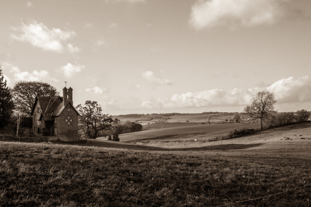
I then continued south and came to the historic village of Brixworth. Brixworth is home to the largest Anglo-Saxon church in Britain. All Saints church is said to have been built in AD 680. The church itself is still in operation and falls under Church of England, I found myself not out of place again as I was educated in a COE school growing up, though religion is not something I have ever embraced. Each to their own in my view. There is a vast history to this site and to go into it would take up a lot of your time and reading power, however it is worth a visit as the village of Brixworth is incredibly picturesque and makes for an excellent place to stroll around on a Sunday. I travelled further on through the village and began to connect with Lamport. There was a pretty little farmhouse overlooking rolling green landscape and a couple of moody looking Beef Shorthorns grazing opposite.
A little more photography and it was time to head home from my historical adventure.


Great article x
Looks like a great area to explore. And you were lucky with the weather. I’ve enjoyed discovering things on my doorstep over the last year or two too!
I can’t wait to get back out with my camera. I love exploring England and its history.
I hope my happy travels are inspiring you and encourage you to get out, even if it is just for a day trip. I have a super special trip next week which I hope to be my write up for 1st December.